Forest fire season is officially underway in Ontario.
The Ministry of Natural Resources’ official forest fire information map lists the Ottawa Valley as being under a “moderate” wildfire risk, following warm temperatures and dry conditions in the region through last few days.
The moderate risk area runs from Arnprior all the way to Bisset Creek along Highway 17 and stretches to the south of Pembroke, covering communities like Killaloe and Eganville and parts of Hastings County.
Further west, towards North Bay, a large region is labeled as “low” risk. Meanwhile, a large area containing parts of Lanark and Frontenac Counties are considered “high” risk.
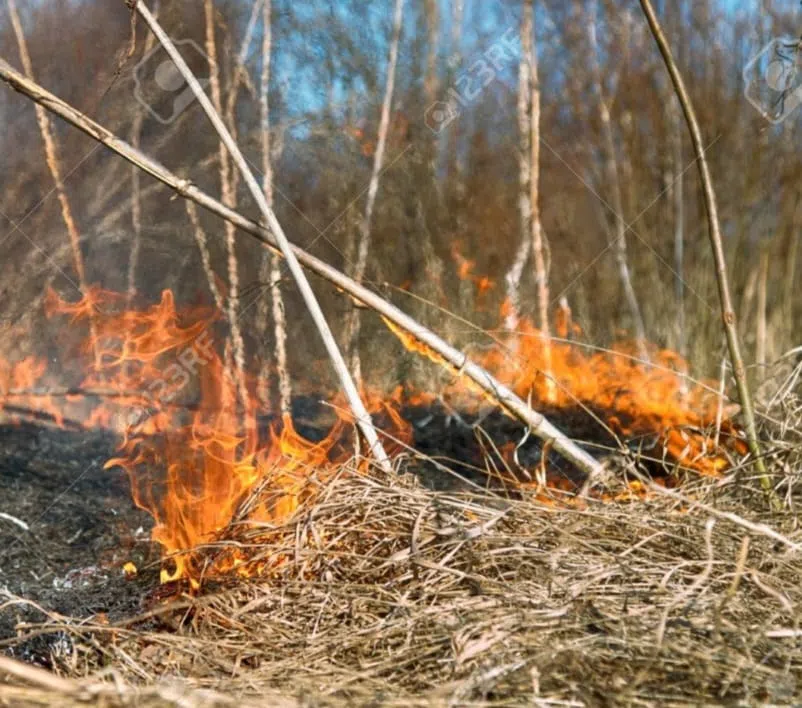
As of 3:00 p.m. on Tuesday, April 28th, the map currently shows just one active wildfire, near Hurds Lake south of Renfrew. The fire reportedly began at 11:54 a.m. Tuesday, has burned 6.2 hectares so far, and is considered “not under control.”
The Ministry of Natural Resources publishes forest fire updates for northeastern and northwestern Ontario twice a week on Mondays and Thursdays.
(Written by Steve Berard)
