We’ve all heard the stories about July being the hottest-ever month on record on the planet- but apparently Ontario is an exception.
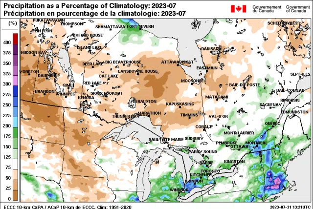
Environment Canada prognosticators say weather maps for the Province indicate most of us were near normal over the whole month. The northwest, however, did turn cooler than customary.
The City of Ottawa reached a high of 33.6C on July 6th, while Petawawa set a record of 34.5C the previous day.
Tornadoes were a factor on July 13th in the company of significant rain. Two EF-1 tornadoes occurred in Barrhaven, and subsequently two EF-0 tornadoes; one in Embrun and the other in Fournier were noted by the Northern Tornadoes Project. No injuries were reported in those instances.
On July 28th the National Capital Region was stricken by hail- with projectiles including tennis-ball size ice damaged car windshields and felled trees, while tornado warnings for a time were issued for Gatineau, Embrun and Russell.
The thunderstorms resulted in over 43,000 customers losing power and there were reports of significant ponding and pooling on Ottawa-area roads.
For August, temperatures are likely to be slightly above normal for much of the province.
By Rick Stow